

Here you can find a large amount of information, maps, books, documents, and personal knowledge on the Sacramento River.
An image from the library

A map from the library
Topographical Sketch of the Gold & Quicksilver Districts of California
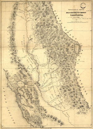
Topographical Sketch of the Gold & Quicksilver Districts of California Edward Otho Cresap Ord, 1848 Library of Congress G4361.H1 1848 .O7 TIL see: http://www.loc.gov/item/99446206